Map
An embedded map (OpenStreetMap or Google Maps), centered on coordinates you enter or on your saved Map Settings locations.
Map embeds a map at a set latitude and longitude, with an optional custom marker and styling. By default each Map element is self-contained, using its own coordinates, but it can also be switched to plot the location pins saved in your theme's Map Settings.
The map uses the provider chosen under HighendHighend OptionsMap Settings. OpenStreetMap works without any setup; Google Maps needs an API key. See Map Settings.
Add it
In WPBakery, click Add Element and pick Map from the Highend Shortcodes category. Or use the shortcode. See Shortcode.
Settings
Nofrom_toWhen Yes, the map uses your saved Map Settings locations instead of the coordinates below. See Pulling locations from Map Settings.
48.856614latitudeLatitude the map centers on, when Use values from Highend Options > Map Settings is No. Use LatLong to look up coordinates for an address.
2.352222longitudeLongitude the map centers on.
16zoomZoom level from 1 (whole earth) to 18 (street level).
custom_pinCustom marker image for this map. Leave empty to use the marker image set under HighendHighend OptionsMap Settings, if Map Settings' Custom Marker Image switch is on.
Default (Map Settings)map_styleDefault (Map Settings), Light, or Dark. Map colors for this map when the provider is OpenStreetMap, overriding the Map Style in Map Settings. Ignored with Google Maps.
350heightHeight in pixels. WPBakery shows this blank; the map is 350px tall if you leave it empty.
ShowborderOptions: Show, Hide.
YesstyledOptions: Yes, No. When Yes, tints the map with the focus color set in Map Settings.
Common settings
Map also has Entrance Animation, Entrance Delay, and Extra class name fields. See the Elements overview.
Pulling locations from Map Settings
Set Use values from Highend Options > Map Settings to Yes (from_to="yes" in the shortcode), and:
- The map centers on the Map Center Latitude/Longitude saved under HighendHighend OptionsMap Settings, ignoring this element's own Latitude/Longitude fields. Zoom and the other fields still apply.
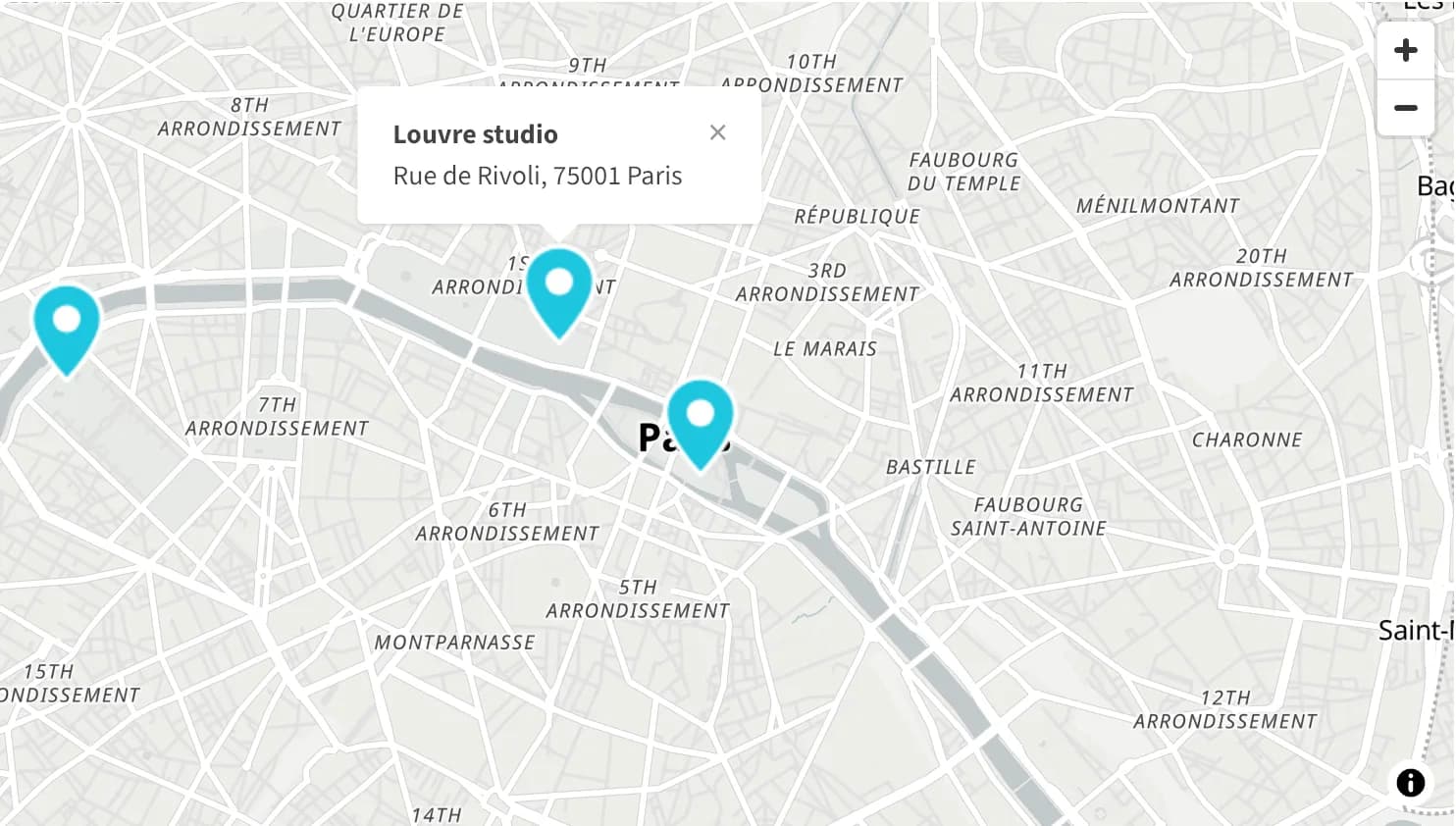
- Instead of a single marker, it plots Location 1 (always shown) plus any of Location 2–10 you've individually enabled in Map Settings, each with its own info popup shown on click, using that location's Info Box text.
Otherwise the element only ever shows one marker, at the Latitude/Longitude you set on the element itself.
Shortcode
[map_embed latitude="40.712776" longitude="-74.005974" zoom="14" height="400" from_to="yes" map_style="dark"]